
There’s an old expression that a picture tells a thousand words. The same is true for a map.
A map can show so much more than how to get from one place to another. A map can tell you the demographics of a city, where coffee shops are or even the best places to spot a pheasant.
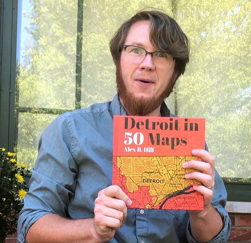
Wayne State adjunct professor and Geographic Information System Director Alex Hill’s new book Detroit in 50 Maps includes maps that answer all those questions — and a mix of everything in between.
Hill has been collecting data and creating maps for his website DETROITography.com since he moved to the city in 2009 and complied some of the best for Detroit in 50 Maps.
“I mapped out the city so I could better understand where I was and what was going on,” Hill said. “That gave me a sense of the city. Detroit means a lot of things to a lot of different people. It's a very clearly defined boundary line, but the interest and influence of the city reaches far beyond.”
Hill’s website features more than 800 maps, including historical maps and maps Hill or others have created. To get down to 50, Hill picked some of the site’s most popular maps and created some new ones.
“I just had a wall in my office with sticky notes and I was picking and choosing,” Hill said. “The first map in the book, I digitized the indigenous trails in the region and overlaid those on the current city and the road network. So, you can see that the streets of Detroit are really historic indigenous trails.”
The book is broken into four parts: Situating the City, Getting to Know the City, Communities and Neighborhoods, and Places in the City.
“The maps included mirror the requests, needs and questions of numerous Detroiters that I have been fortunate to have met and worked with,” Hill writes in the book. “To know Detroit, you have to ride the bus, enjoy gas station culinary creations and make countless wrong turns. Most importantly, you have to listen Detroit and Detroiters will tell you all about the city.”
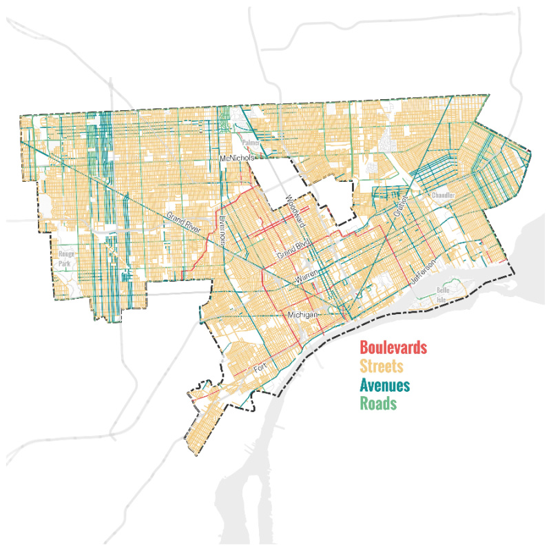
Other popular maps in the book include maps of the different types of roads (avenues, streets, boulevards and roads) and maps comparing the size of Detroit to major cities like Boston, New York and San Francisco.
“Those maps are very popular. People say, ‘Oh my gosh, Detroit is so big. all of these cities fit inside of it,’” Hill said. “I compared Detroit with 12 other cities based on similar land size and similar population size. Can you really compare Detroit to anywhere else? The answer is no. Detroit is purely unique. Sure, there are similarities, but you can't really put it up against any other city. It's the best.”
Hill’s book also includes fun maps like the most popular dog name in each ZIP code, a map of all the coney islands in Detroit and the 20 different municipalities that share a border with the city.
“It would have been really easy for me to sit in an office and create maps all day long. But the vast majority of these maps are from people asking me questions or community organizations asking me to create them a map,” Hill said. “Obviously, my name is on the title of the book, but a lot of the impetus for creating the maps comes from the community.”
Hill traces his passion for maps back to his days as a boy scout.
“My favorite merit badge was orienteering, where you use a compass on a map and figure out where the heck you are,” Hill said. “Maps are a really great way to know both where you are, but then also be able to layer other pieces of data on where you are. You can pack a lot of information in a map. They're striking, they’re visual. And, you know, a lot of times people will call you a wizard if you can make a map, and that's pretty funny.”
Detroit in 50 Maps is available at Barnes and Noble and Amazon, among others, and Hill said the response so far has been positive.
“People have really loved it. I guess if they didn’t love it, they didn't tell me,” Hill said with a laugh. “Some people have told me they use it as bedtime reading, they share maps with their partner and stuff like that. So that's really fun to hear.”